WATER SPOTTERS
Help others see the waters you know.
A familiar shoreline. A river after rain. The lake you pass on your morning walk. A photo can help someone else see what you see.
Water Spotters lets you share water photos through Water Savvy and explore photos from other people. Together, those views help build a picture of the places we care about.


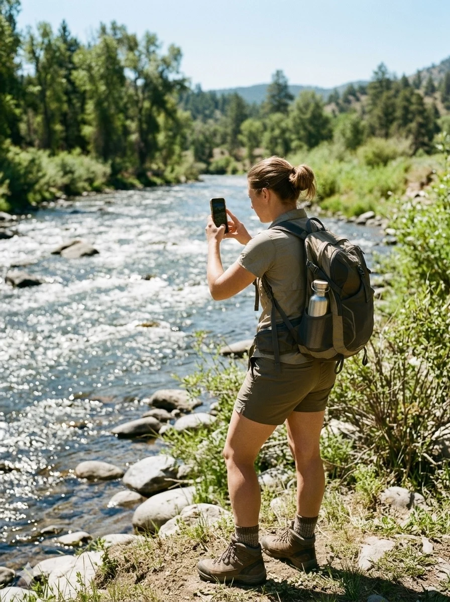
SHARE WHAT YOU NOTICE
Start with a photo of a place you know.
Open Community in the app. Take a photo or choose one from your gallery.
Check the place and date. Add the location and, when you know it, the date the photo was taken.
Share your view. Follow the steps in the app to submit your photo. You can also explore photos other people have shared.
Stay somewhere safe when taking photos. Share your own images and respect other people’s privacy.
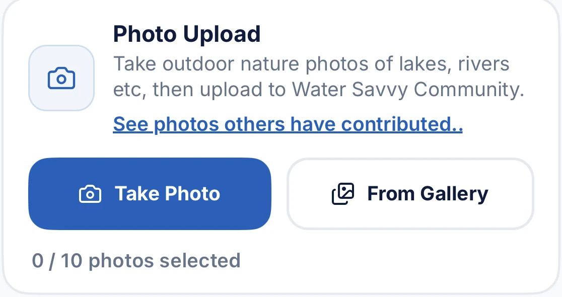
For illustration only. Examples shown do not represent live readings or alerts. Water conditions change, and the information you see will depend on your location, available sources, and when those sources were updated. Check dates and local guidance before making decisions about water use or safety.
EXPLORE THE MAP
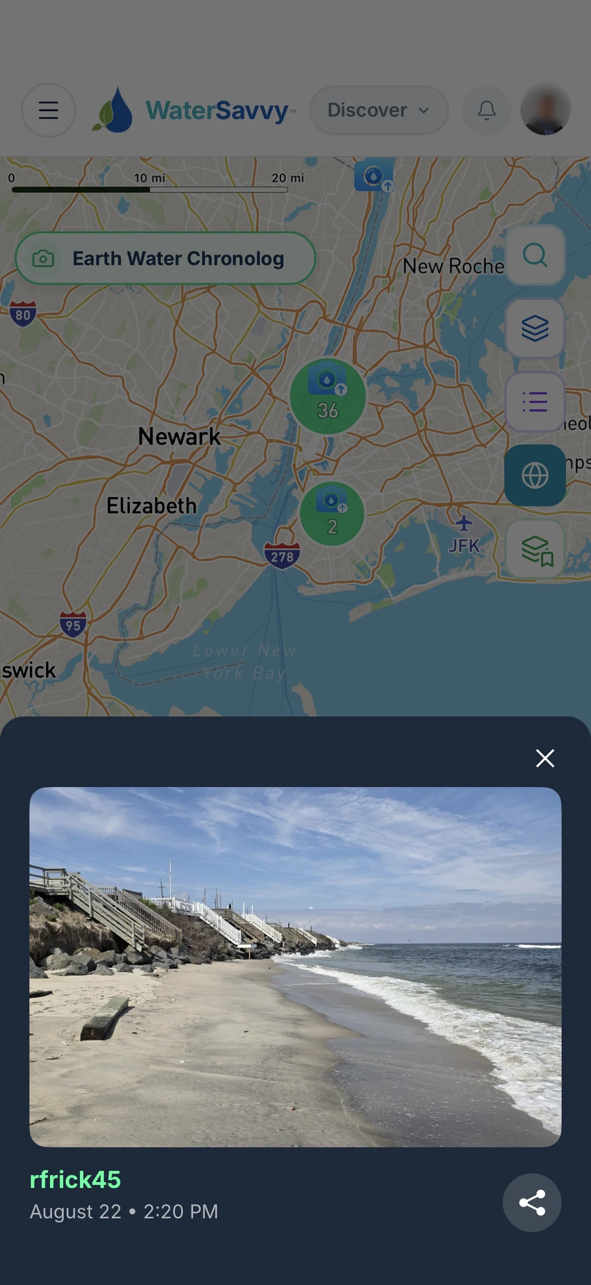
For illustration only. Examples shown do not represent live readings or alerts. Water conditions change, and the information you see will depend on your location, available sources, and when those sources were updated. Check dates and local guidance before making decisions about water use or safety.
See a place through someone else’s eyes.
Open photos on the map to look at the water and shoreline in a place that interests you. A photo may show a water level, a stretch of beach, or something you want to learn more about.
Photos add a view of a place. They do not measure water quality or explain every cause of a change.
WATER CHRONOMETER
In development
Notice what changes over time.
A photo records a moment. Images taken years apart help us see changes we might otherwise miss.
We’re developing Water Chronometer to help you explore how places change over time.
Elephant Butte Reservoir, New Mexico
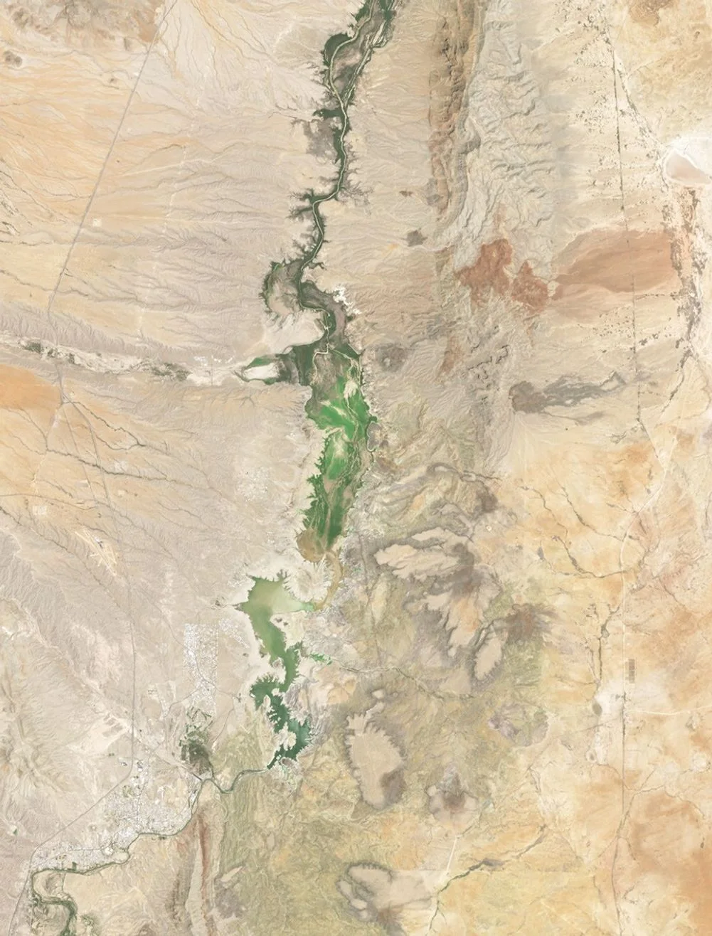
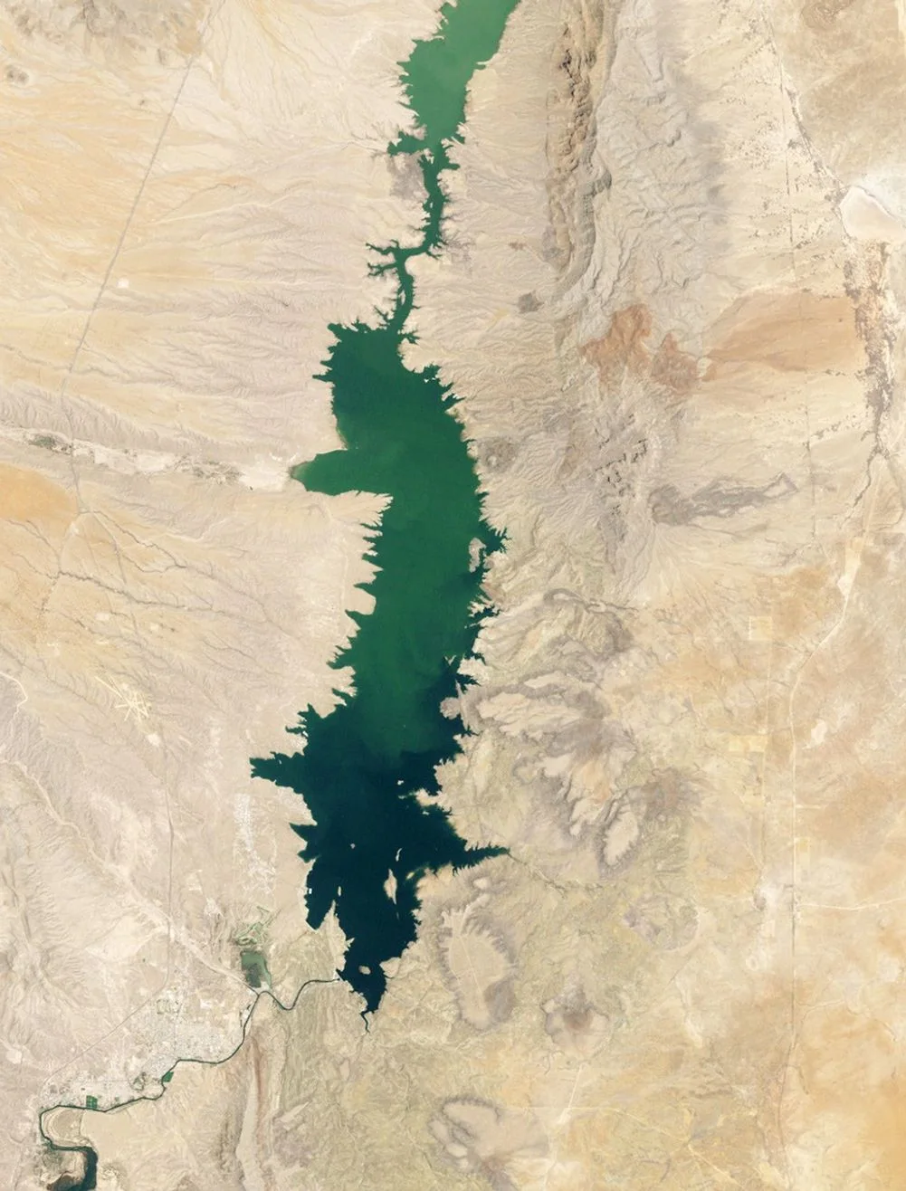
These satellite images show how much the reservoir’s water coverage changed between two dates.
Images: NASA Earth Observatory / Michala Garrison. Landsat data: USGS.
For illustration only. Examples shown do not represent live readings or alerts. Water conditions change, and the information you see will depend on your location, available sources, and when those sources were updated. Check dates and local guidance before making decisions about water use or safety.
See the original images and story at NASAView both images
NASA imagery shown as an example.
A few things worth knowing.
Your view can help someone else look closer.
Get Water Savvy to explore water photos and share the places you know.